Bengaluru · The game
The map
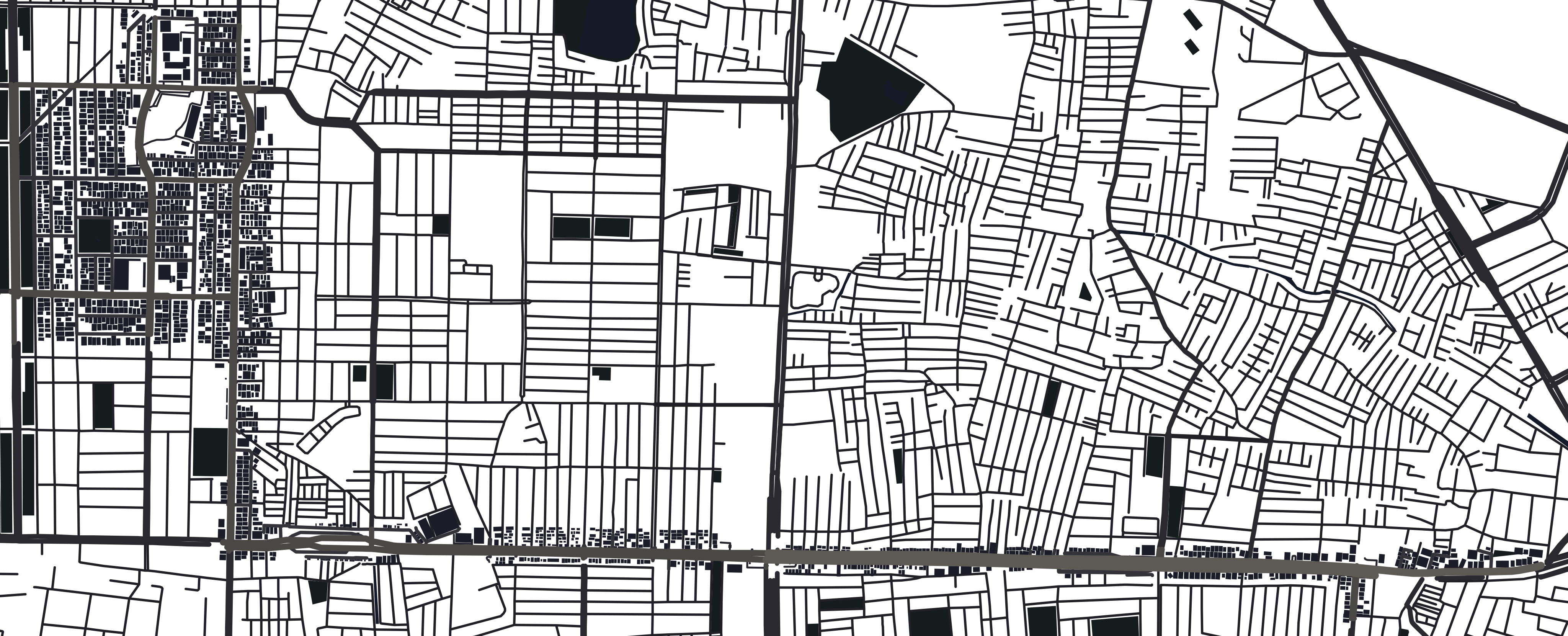
Every line on these maps is the game's own: its roads, buildings, metro and stations, drawn here from the same OpenStreetMap data the city is built from.
The ground
Jayanagar to Silk Board
4.3 km from west to east. Jayanagar is the square; the double-decker is the long way to Silk Board, and the only way most evenings.
- Green Line
- Yellow Line
- The double-decker
- Roads
- Buildings
- The city around it
On a phone the map scrolls sideways. Map data © OpenStreetMap contributors, ODbL.
Jayanagar
The square
Where the story starts. The last bus stops at Jayanagar TTMC, the PG is a few streets north, breakfast is at Sukh Sagar, and the police station is on the map whether Kiran walks in or not.
- Buildings
- 1,776
- Named streets
- 78
- Named places
- 365
- Shops in the game
- 41
Counted from the game's map data, Jayanagar to Silk Board.
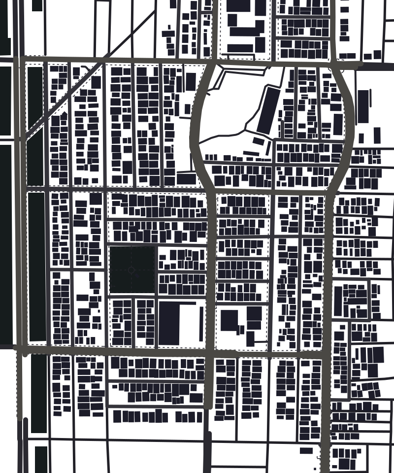
- A place in the story, by its OpenStreetMap name
- Green Line
- Yellow Line
In the game
The Atlas
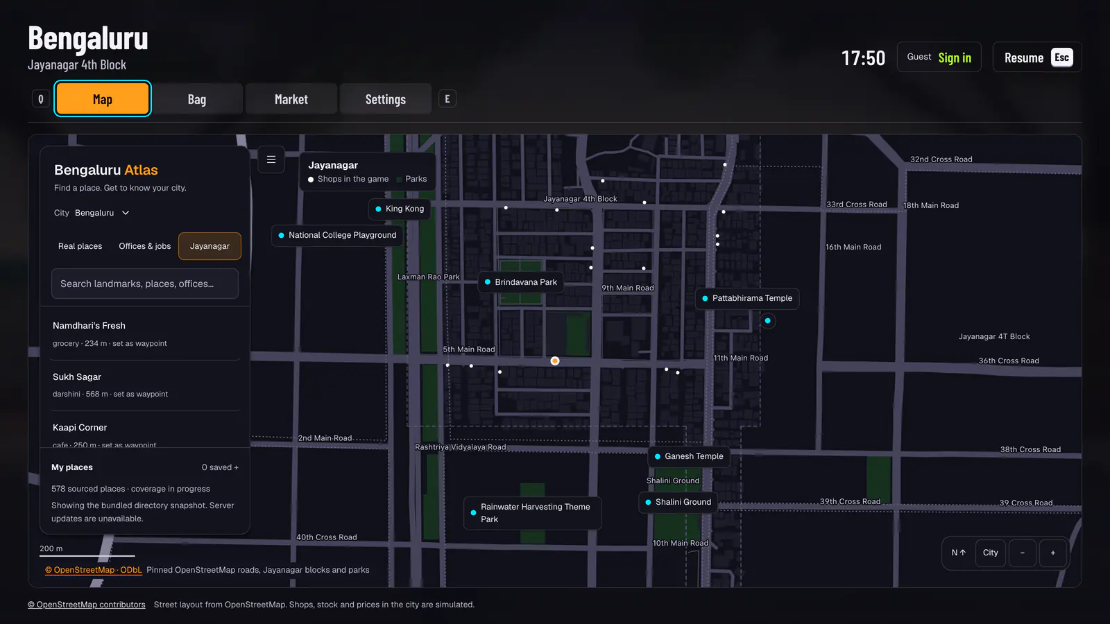
Press M for the game's own map. Search a place by name, set it as a waypoint, and the phone's map and an auto will take you there. The places it lists are OpenStreetMap's, and the coverage grows as the map does.
Next on the map
Coming soon
The rest of the city comes one neighbourhood at a time, each from OpenStreetMap the way Jayanagar was: Koramangala, HSR Layout, Indiranagar, MG Road, Basavanagudi and Malleswaram.